

terrain mapping
From 5 acres to 50 acres. Get precise mapping data now.
Basic Mapping – $200 flat
• Small site (up to 5 acres)
• Orthomosaic aerial map
• 10–15 edited reference photos
Standard Mapping – $350 flat
• Medium site (5–20 acres)
• Orthomosaic aerial map
• 20–25 reference photos
Premium Mapping – $550 flat
• Large site (20–50 acres)
• Orthomosaic aerial map
• 3D textured model
• 30+ reference photos
extras:
• Additional acreage: $10 per acre
• Contour lines & elevation maps: $75
• Volume measurements (stockpiles, excavation): $100
• Rush delivery (<48 hrs): $50
• Raw geotagged images: $75
notes:
• Travel: No charge within 20 miles of Mission, TX. +$25 per additional 20 miles.
• Usage: Client marketing and internal use included. Portfolio use reserved unless agreed otherwise.
• Weather/Safety: Flights subject to safe conditions and FAA rules.
• Booking: 50% deposit to hold the slot. Free reschedule with 24+ hours’ notice.
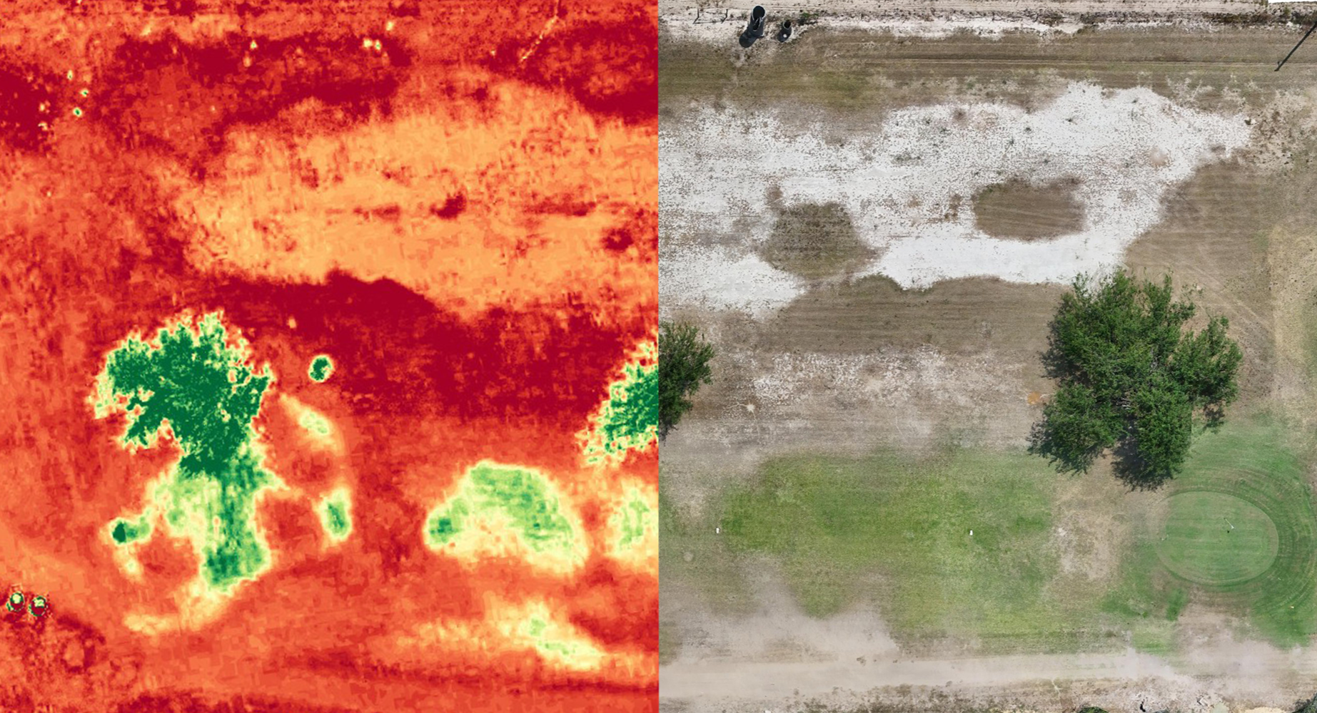
Adobe wells golf course - mcallen,tx
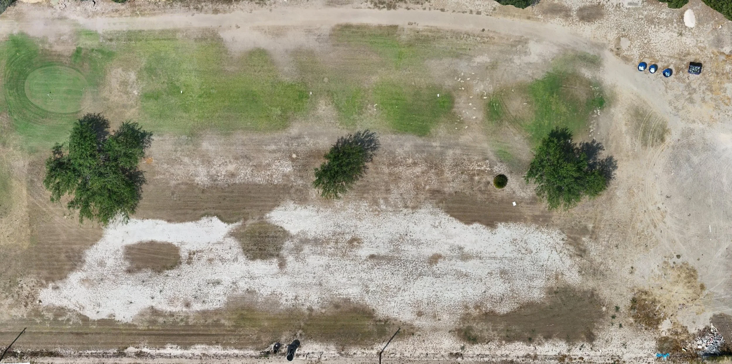
Orthomosaic Map

Elevation Overlay

Vegetation Health Overlay